ArcGIS, an integrated server-based GIS is hosted and managed by Esri to aid in analyzing and visualizing the compiled geographic data by leveraging its integrated tools to facilitate mapping and spatial reasoning. Learn and explore how it compiles geographical information in a database and displays it in the form of interactive maps which are then published as web layers through a range of applications.
View our “ArcGIS” examples and guides
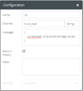
- GUIDE: Take a walk through our user guide on the Anatomy of its Settings and Configuration when availed within our uniquely configurable platform.
- TUTORIAL: Get hands-on-experience with our interactive tutorial on ArcGIS Intersects and gain in-depth knowledge on how to avail the features of employing an ArcGIS connector to compute the geometric intersection of a provided point with an ArcGIS polygon layer.
- TUTORIAL: Familiarise yourself with the working of the ArcGIS connector instance within an interaction model to compute the geometric intersection of a set of points that fall within the buffer of an input geometry.
Start for Free
VOGO Voice is the most comprehensive Voice User Interface platform for building data-driven, enterprise-grade voice skills for Amazon Alexa and Google Assistant. It provides a collection of components for any type of interaction along with an exhaustive set of DB connectors to integrate with most DB platforms. At VOGO Voice we provide a complete end-to-end service for designing, building Skills, and managing Skills. We also have self-service plans as well. Start your 14-day free evaluation. No strings attached. Work with one of our experts to determine what type of skill is right for your organization.